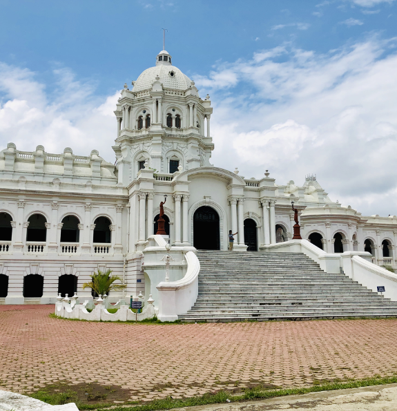

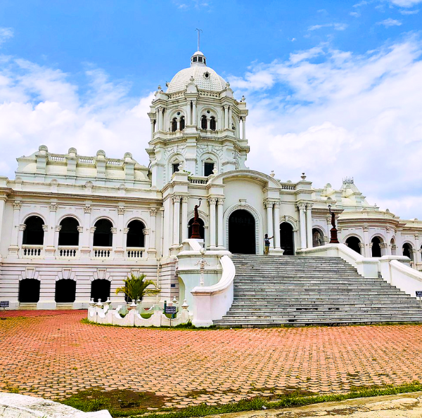
Ujjayanta Palace
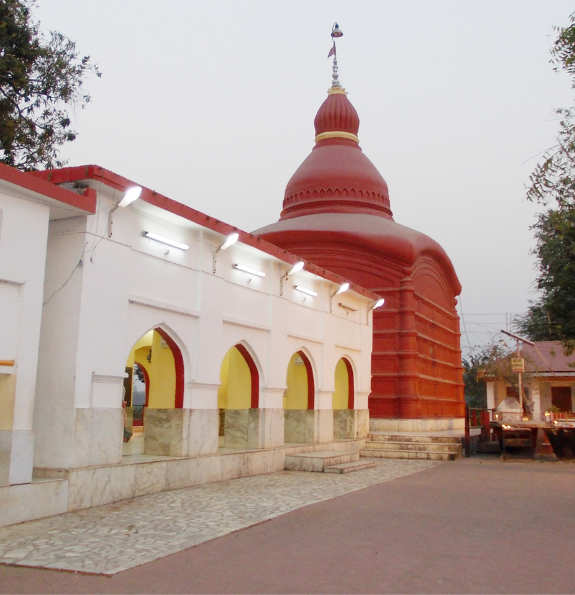
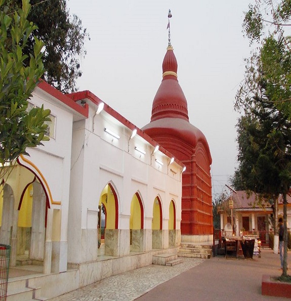
Tripura Sundari Temple
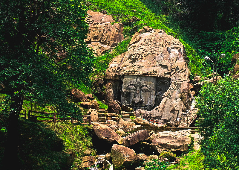
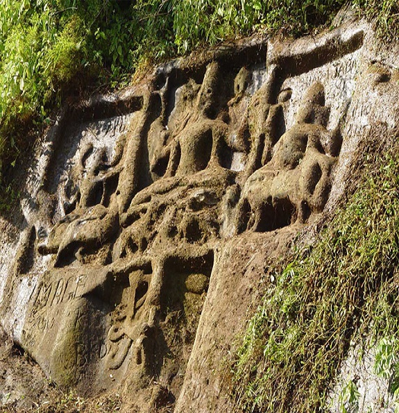
Unakoti
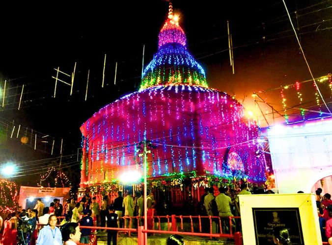
Diwali Festival
Baramura Eco Park
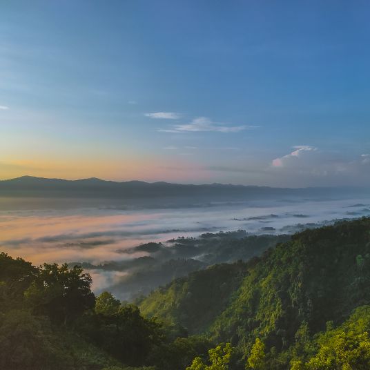
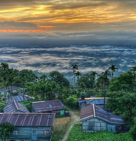
Jampui Hill
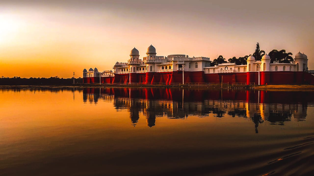
Neermahal Water Palace
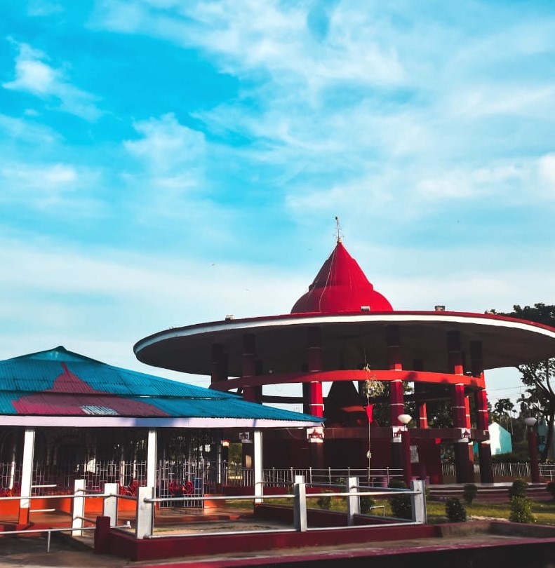
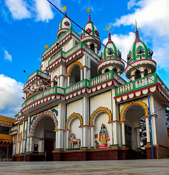
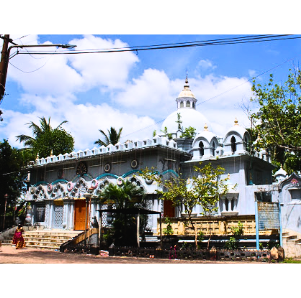
Chaturdash Devta Temple
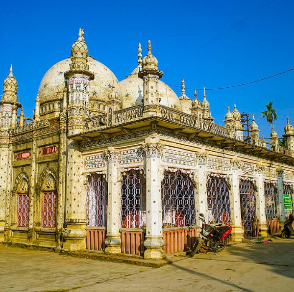
Gedu Mia Maszid
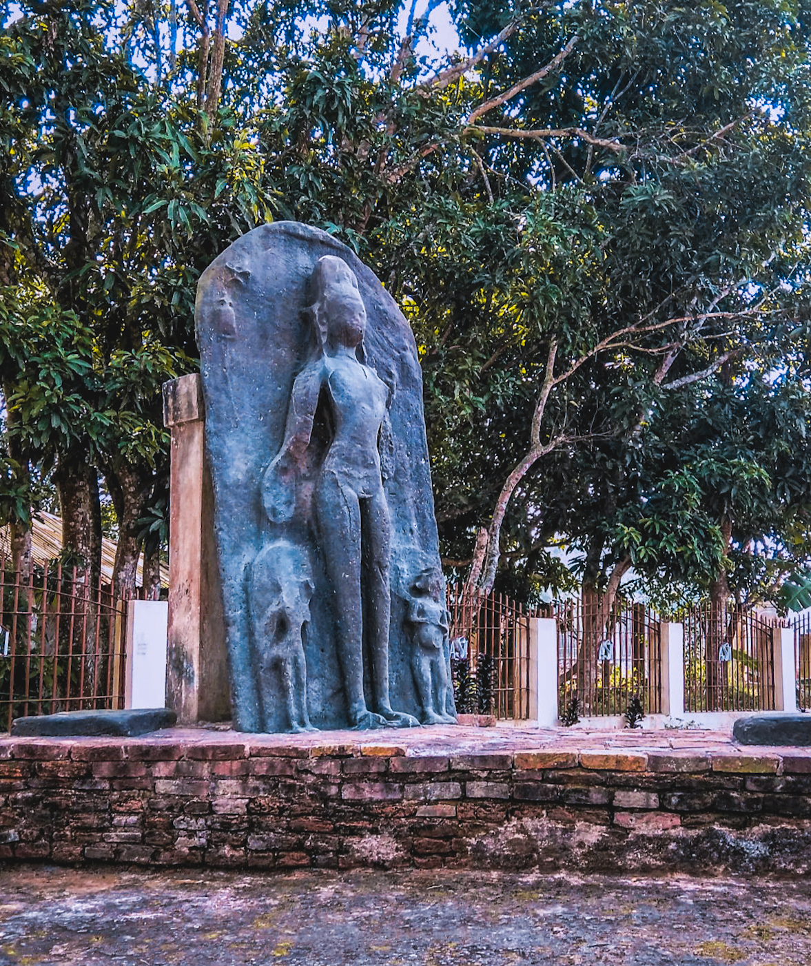
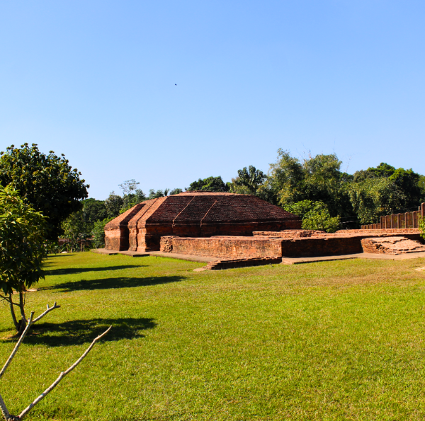
Pilak Archaeological Sites
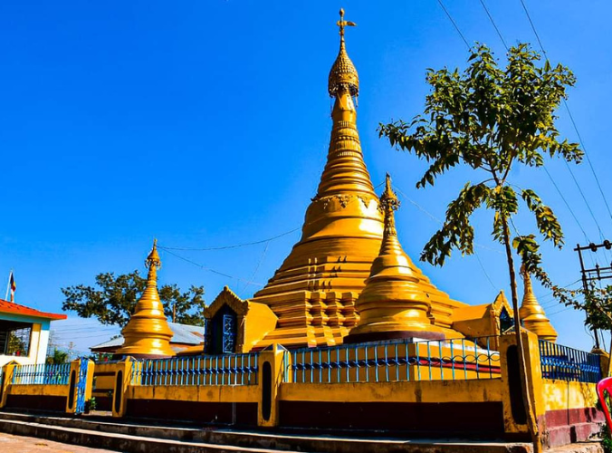
Buddhist Stupa
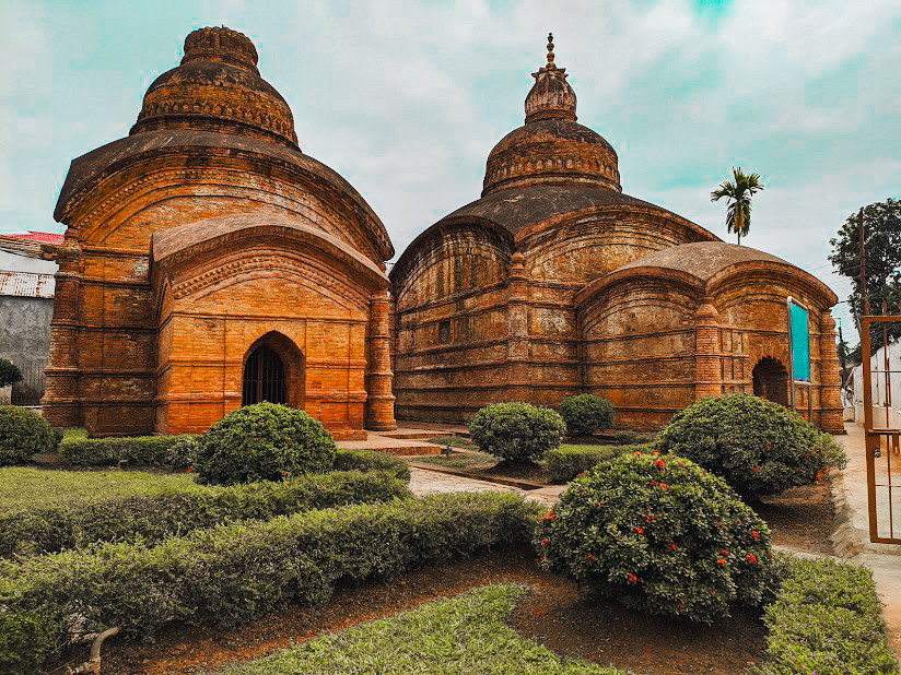
Gunabati Group of Temples
.jpg)
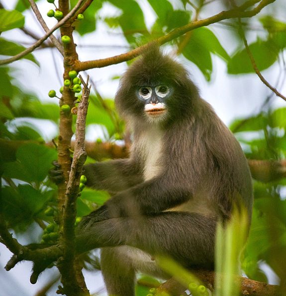
Sepahijala Wildlife Sanctuary & Clouded Leopard National Park
Kalapania Nature Park
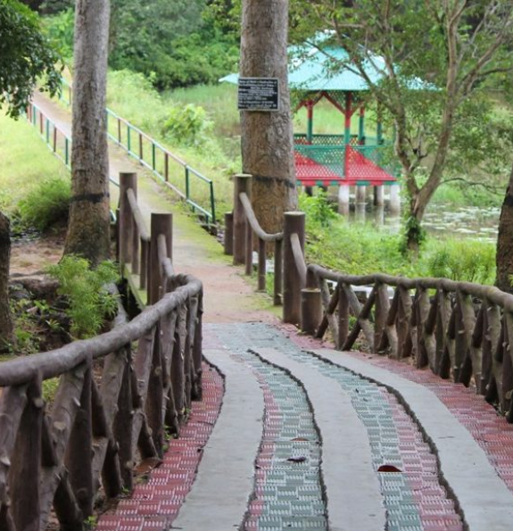
Tepania Eco Park
.jpg)
Khumulwng Eco Park
.jpg)
Gomati Wildlife Sanctuary
.jpg)
Rowa Wildlife Sanctuary
Mahamuni Pegoda
.jpg)
Venuban Vihar

Kharchi Festival
.jpg)
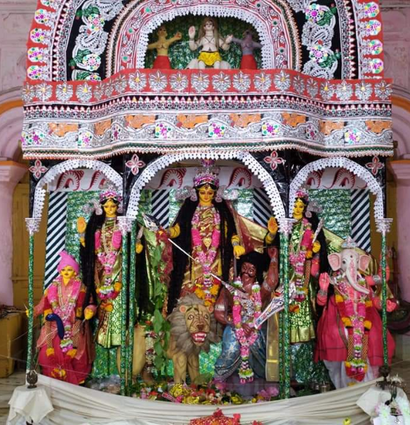
Durga Puja
Chabimura
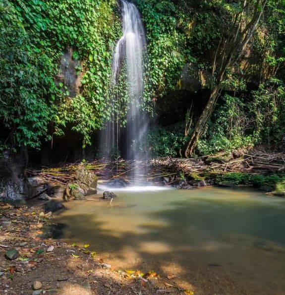
Sanaiya Waterfalls

Purbasa Tripura
Kasba Kali Temple

Bhubaneswari Temple
Trishna Wildlife Sanctuary
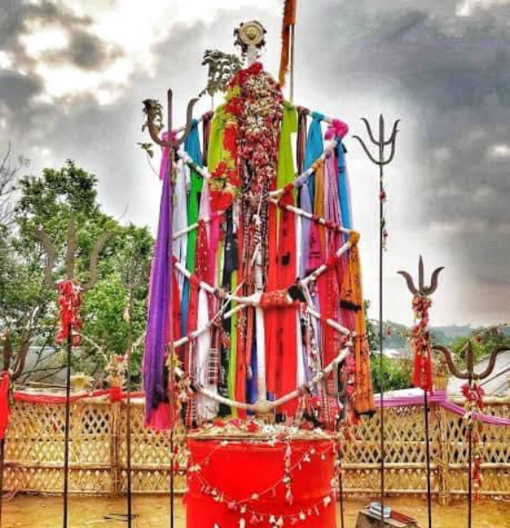
Garia Puja
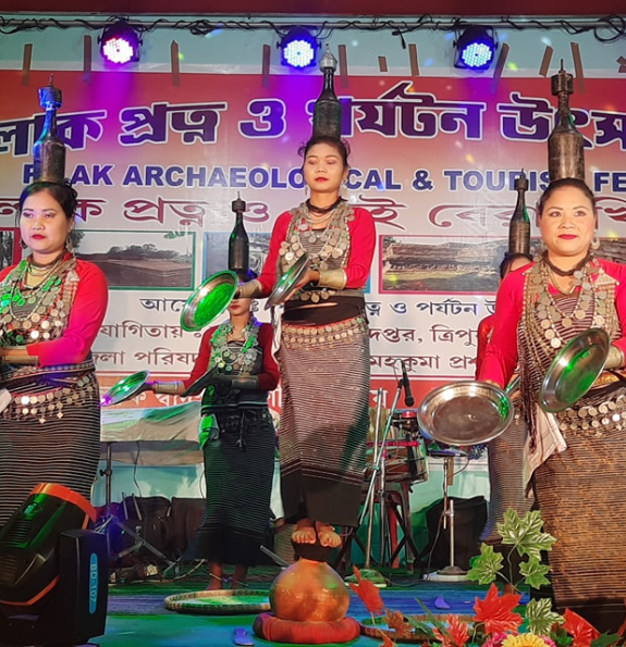
Pilak Festival

Neermahal Festival
Pous Sankranti Fair
Dumboor Lake, Dhalai District

Butterfly Park in Tripura
Durga Bari Tea Garden

Bashgram
Durga Bari
Jagannath Bari
Laxmi Narayan Temple
Vanghmun
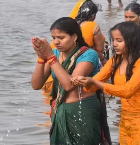
Brahmakunda
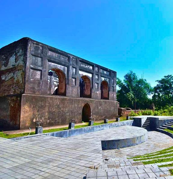
Old Rajbari Palace


The name Ujjayanta Palace was given by Nobel Laure....
Religious Tourism Spots Tripura Sundari Temple, M....
This archaeological site is any place where ther....
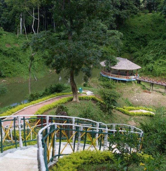
Eco tourism is intend to offer tourist & insight....
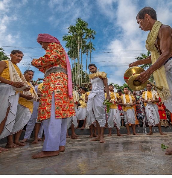
Fairs & Festivals not only spiced up Renaissances ....
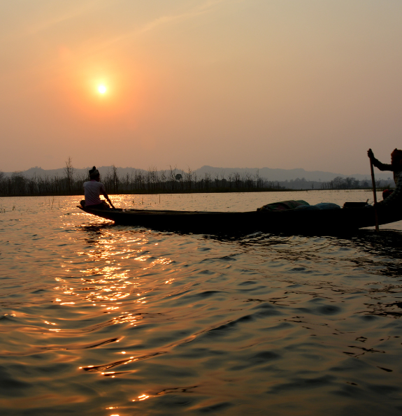
This is a beautiful Hill Station Jampui located in....
Handlooms and handicrafts of Tripura reflect the i....
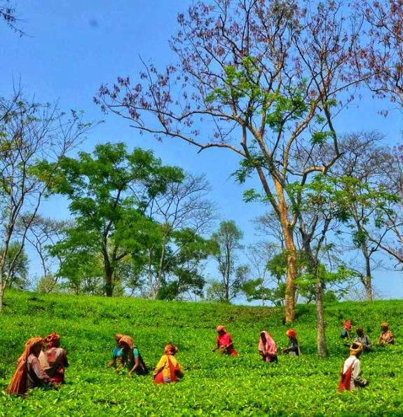
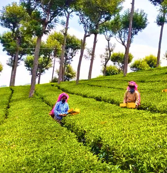
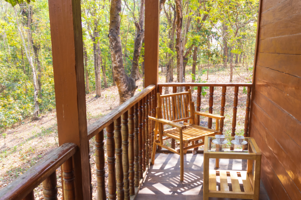
Sometimes discovering the best tea means leaving ....
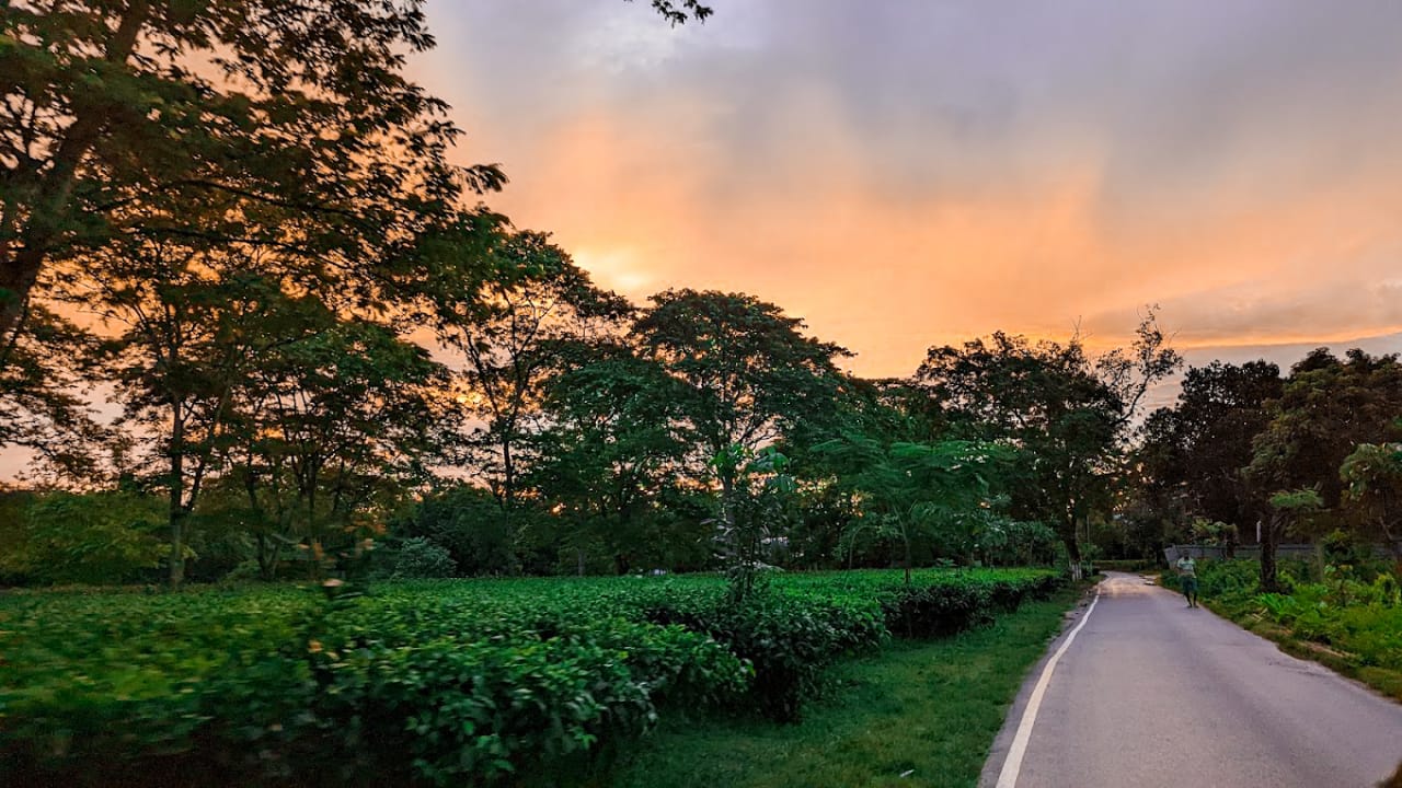
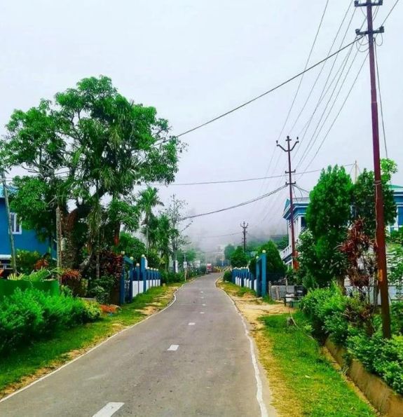
Rural tourism is a tourism that focuses on activel....
Access a user-friendly platform for effortless trip planning. Enjoy a streamlined booking process for flights, accommodations, and activities. Create and manage your travel itinerary in one convenient location.


A hidden gem in the Northeast, Tripura's serene landscapes and warm hospitality stole our hearts. From ancient temples to the untouched beauty of Neermahal, every moment was a delight. Can't wait to return!

Agartala, a cultural extravaganza! Ujjayanta Palace, vibrant bazaars, and mesmerizing Tripuri dance performances. A city that beautifully preserves its rich heritage.

Sepahijala Wildlife Sanctuary - a paradise for nature lovers. Diverse flora and fauna, boat rides on Rudrasagar Lake, and a treetop walkway. Commendable conservation efforts

Tripura's tribal life is an unforgettable journey into traditions. Colorful attire, traditional dances, and a warm welcome from indigenous communities showcase the state's cultural diversity.